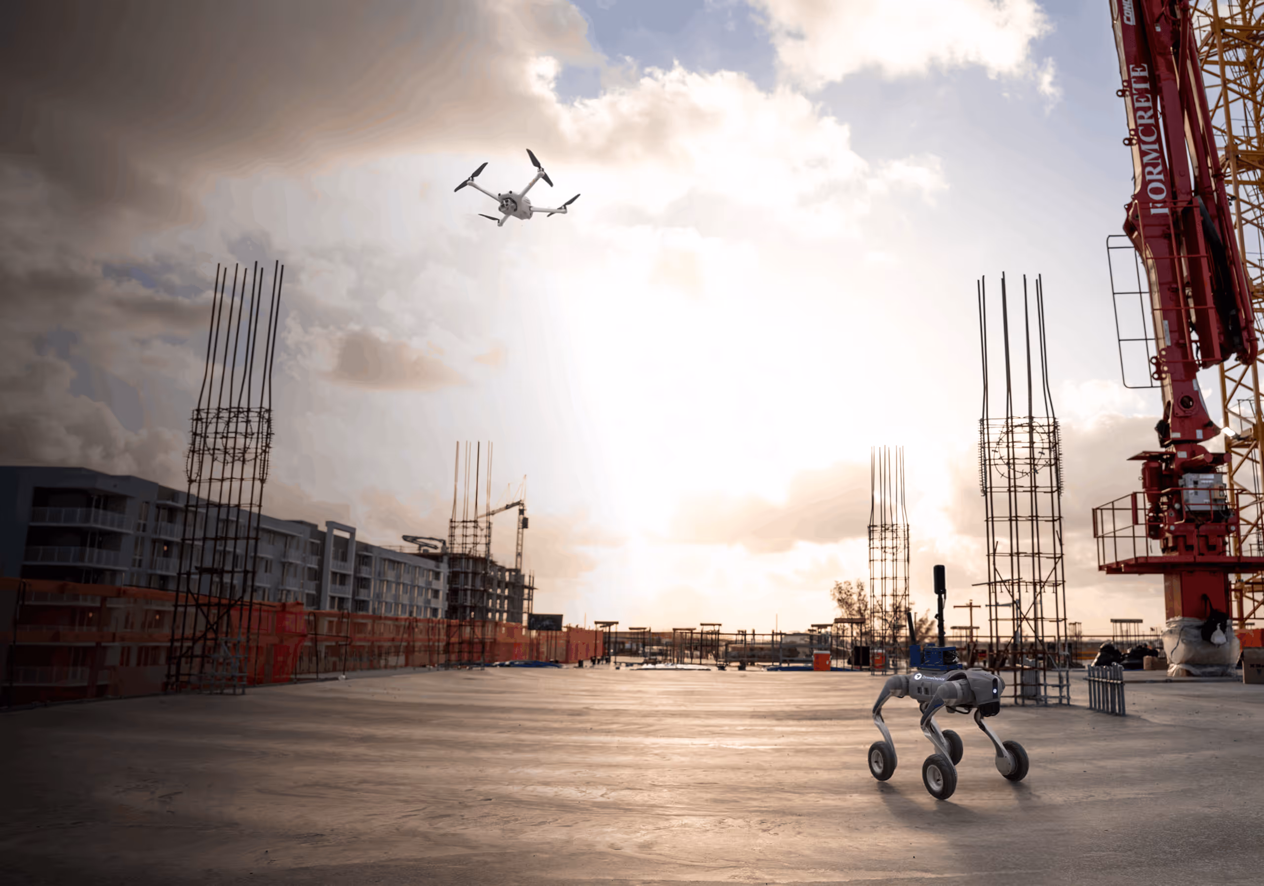
Visual AI and robotics across all your sites
See and measure your sites from every angle with 360 cameras, robots and drones – and AI agents proactively surfacing schedule or safety risks.


Used on 3 million sites in 180 countries


.png)


.png)


.png)
.png)

.png)
%201%20(2).png)
More than just site photos
Understand all your sites


.png)
.avif)
%20(1).png)
How it works
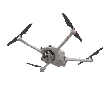
Every site, fully captured
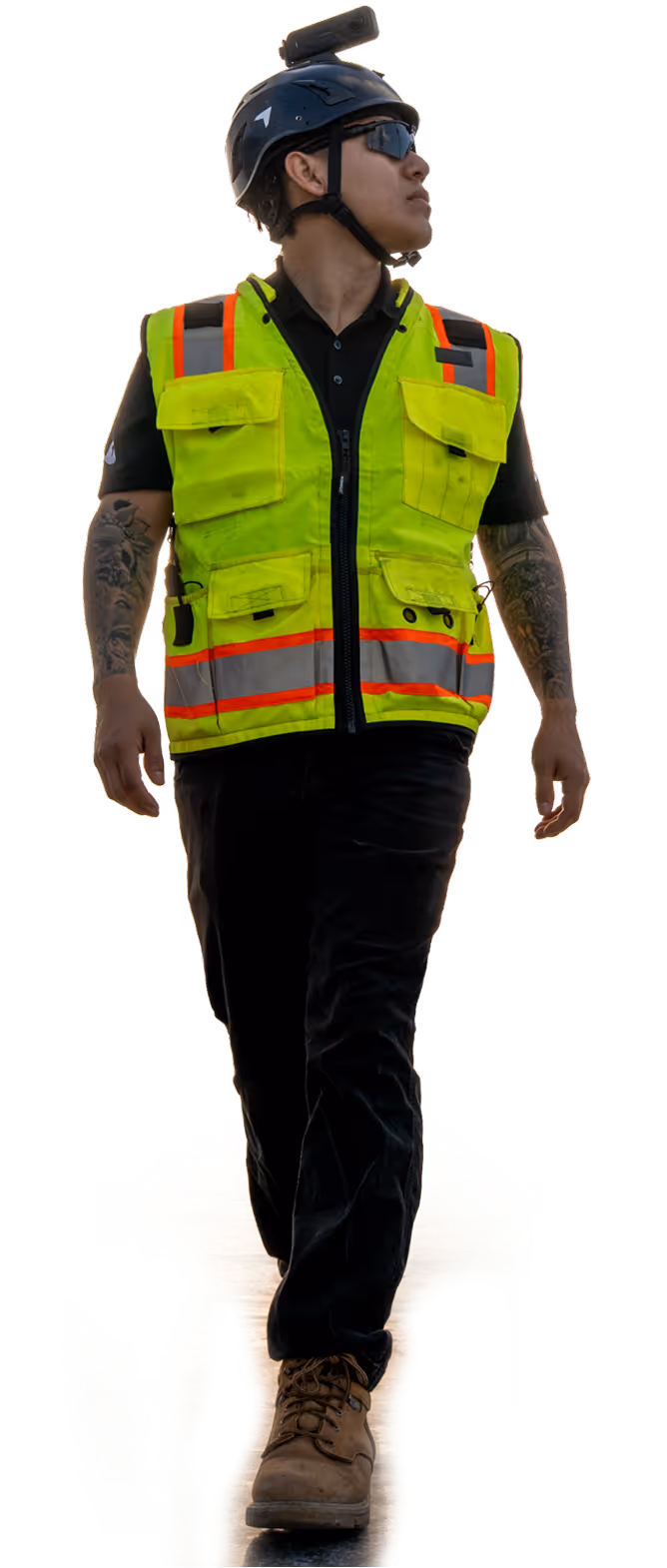
Capture yourself or let us do it for you
Get a complete visual record of your sites
How it works
AI agents that understand your site
Supercharge your staff with progress, quality and safety data.
Vision-language AI – trained on billions of square feet and millions of acres of real-world data.
How it works
One login for 360, drone, site cam and design data
Unified reality capture from site selection to close-out
Your system of record for 2D maps, 3D models and all visual data across the entire lifecycle
DroneDeploy Insider

.png)
.webp)

-min.jpg)
Getting started is simple. Request a demo today.