Drones in civil engineering: how teams capture sites faster and build better records
.svg)

Quick Summary
Civil engineers use drones to survey terrain, inspect hard-to-reach structures, track earthwork volumes and document site conditions across every project phase. The result is a consistent visual record that supports faster decisions, reduces time on manual tasks and keeps crews out of hazardous areas. This guide covers where drones fit into civil engineering workflows, from topographic mapping and infrastructure inspections to construction progress monitoring.
Conducting earthworks can be one of the most challenging and costly aspects of any project. In an ultra-competitive construction industry with high equipment costs, high risk, and tight margins, the difference between success and failure can be thin. Knowing this, it’s no surprise that many contractors, GCs, and surveyors are looking into drone data to help gain a competitive edge and increase margins.
The main challenges with earthwork accuracy come down to quantity reporting and progress monitoring. Keeping track of topsoil, gravel, dirt, and other material as it’s being excavated can be complicated in such a fast, dynamic environment. Similarly, understanding how much material has been moved and to where can be difficult to keep track of, while infrequent surveys produce outdated information, and do little to stop cost overruns or missed deadlines.
Using DroneDeploy, surveyors and project managers are now able to improve both the accuracy and frequency of earthworks with the use of aerial imagery, doing what used to take 2-4 weeks for a single survey, down to a matter of hours.
Inspecting and monitoring infrastructure
Most civil infrastructure sits in places that are difficult or dangerous to access on foot. Bridge undersides, dam faces, retaining walls, transmission towers and elevated highway segments all require inspection, and traditional methods typically involve scaffolding, lane closures or rope access teams.
A drone with a high-resolution or thermal camera reaches those locations in minutes. State departments of transportation across the U.S. now fly bridge inspections that capture sub-millimeter imagery of deck undersides, abutments and bearing pads. The crew stays on the ground while the drone documents cracks, corrosion, spalling and joint deterioration from angles that would otherwise require a snooper truck or traffic shutdown.
Thermal imaging adds another layer. Temperature variability across a roof membrane, a concrete deck or a pipeline corridor can reveal moisture intrusion, delamination or insulation failures that are invisible to the naked eye. Teams fly the same route on a set schedule, compare thermal maps over time and flag areas where conditions have changed. That record supports maintenance planning and helps engineers prioritize repairs before minor defects become structural problems.
Inside the platform, captured imagery feeds into 3D models and point clouds that engineers reference for condition assessments, design verification and rehabilitation planning.
Surveying and mapping terrain
Traditional land surveys rely on ground crews walking sites with total stations and GPS rovers. For a 50-acre highway corridor or a 200-acre development parcel, that work can take weeks. A drone covers the same area in hours.
Photogrammetry software stitches overlapping aerial images into 2D orthomosaic maps and 3D terrain models that show elevations, contours and surface features at centimeter-level accuracy. Fixed-wing drones handle large-area coverage efficiently, while multi-rotor platforms work well for tighter sites or areas that need lower-altitude detail. For projects where vegetation or dense ground cover limits photogrammetry accuracy, LiDAR-equipped drones penetrate canopy and return dense point clouds of the underlying terrain.
The data feeds directly into design and planning workflows. Engineers reference orthomosaics for site layout, pull elevation profiles for grading plans and overlay proposed alignments on existing conditions. Because each flight produces a timestamped dataset, teams build a record of how the site looked at each phase, from preconstruction through final grading.
Tracking earthwork and stockpile volumes
Earthwork-heavy projects depend on accurate volume data. Whether you are tracking cut and fill on a highway interchange or monitoring aggregate stockpiles at a batch plant, the numbers need to be current and defensible.
Repeatable drone flights over the same site produce terrain models that can be compared against design surfaces or previous captures. Cut/fill tools measure elevation change across the site, and volume measurement calculates material quantities from stockpile boundaries. The comparison happens side by side, so teams can see exactly where material has been moved, how much remains and whether grading aligns with the design intent.
Stockpile reports package those quantities into a shareable PDF that project managers, estimators and clients can reference without logging into the platform. On earthwork-intensive civil projects, weekly flights create a running inventory that replaces manual truck counts and reduces disputes over quantities.

Reducing exposure to hazardous conditions
Civil engineering sites include steep embankments, active traffic corridors, confined spaces and structures under load. Sending crews into those areas for routine documentation burns time and creates risk. A drone reaches the same locations without putting anyone in harm's way.
Bridge inspections that once required under-bridge access platforms or lane closures now happen with a multi-rotor drone flying beneath the deck. Slope stability assessments on highway cuts or dam embankments get documented from the air instead of requiring technicians to climb loose fill. Pipeline corridors, floodplains and remote terrain that would otherwise demand half-day hikes become accessible in a single flight.
Beyond physical access, drones support safety compliance monitoring on active sites. Aerial imagery captured during routine flights documents site conditions, housekeeping and work zone setups. When paired with Safety AI, that imagery gets analyzed against OSHA standards automatically, flagging observations that might otherwise go unnoticed during a manual walkthrough.
Post-disaster assessment is another area where civil engineers rely on drone data. After floods, earthquakes or severe storms, UAVs rapidly map damage to roads, bridges and embankments from the air. That aerial record helps engineers prioritize repairs, estimate scope and document conditions for insurance or FEMA reporting before ground crews can safely access the area.
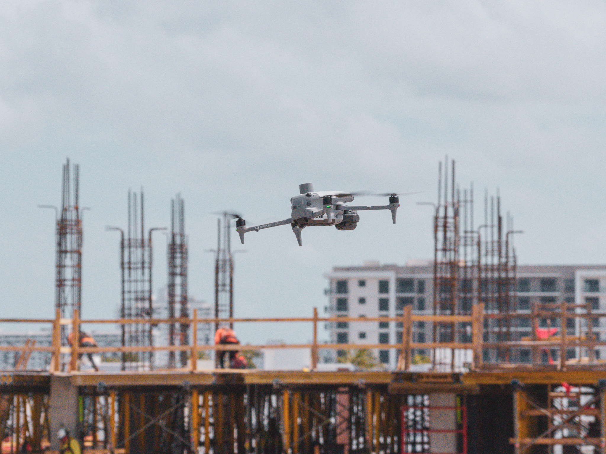
Monitoring construction progress from the air
On large civil projects, weekly or biweekly drone flights create a visual timeline of construction activity. Aerial imagery gets overlaid on design plans or BIM models to verify that work matches the intended layout and sequence. Earthwork quantities, structural progress and site logistics all become visible in a single capture.
That record serves multiple audiences. Project managers reference it for progress reporting. Owners see current conditions without traveling to the site. Field teams use side-by-side comparisons to confirm what changed between captures. Because every flight is timestamped and geolocated, the data holds up when questions arise about sequencing, quantities or installed conditions months after the work moved on.
Next steps
Drones fit into civil engineering workflows wherever teams need current, accurate site data without the time and risk of manual methods. Surveying, infrastructure inspection, earthwork tracking, safety documentation and construction progress monitoring all benefit from repeatable aerial capture.
If your team is evaluating how drone-based reality capture fits into your civil engineering projects, request a demo to see how the platform handles flight planning, data processing and site documentation from a single system.
.png)
FAQ


.jpg)
Ready to manage your data from the very start?
Book a quick call to see how DroneDeploy streamlines capture from construction through building ROI.